Narration · approximately 40 seconds
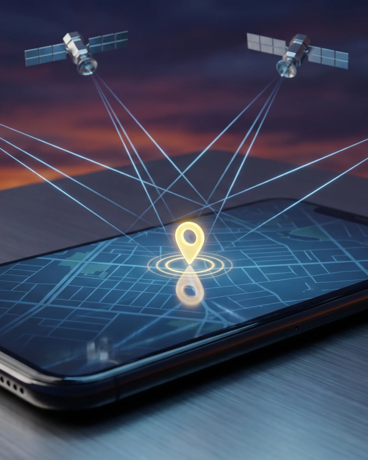
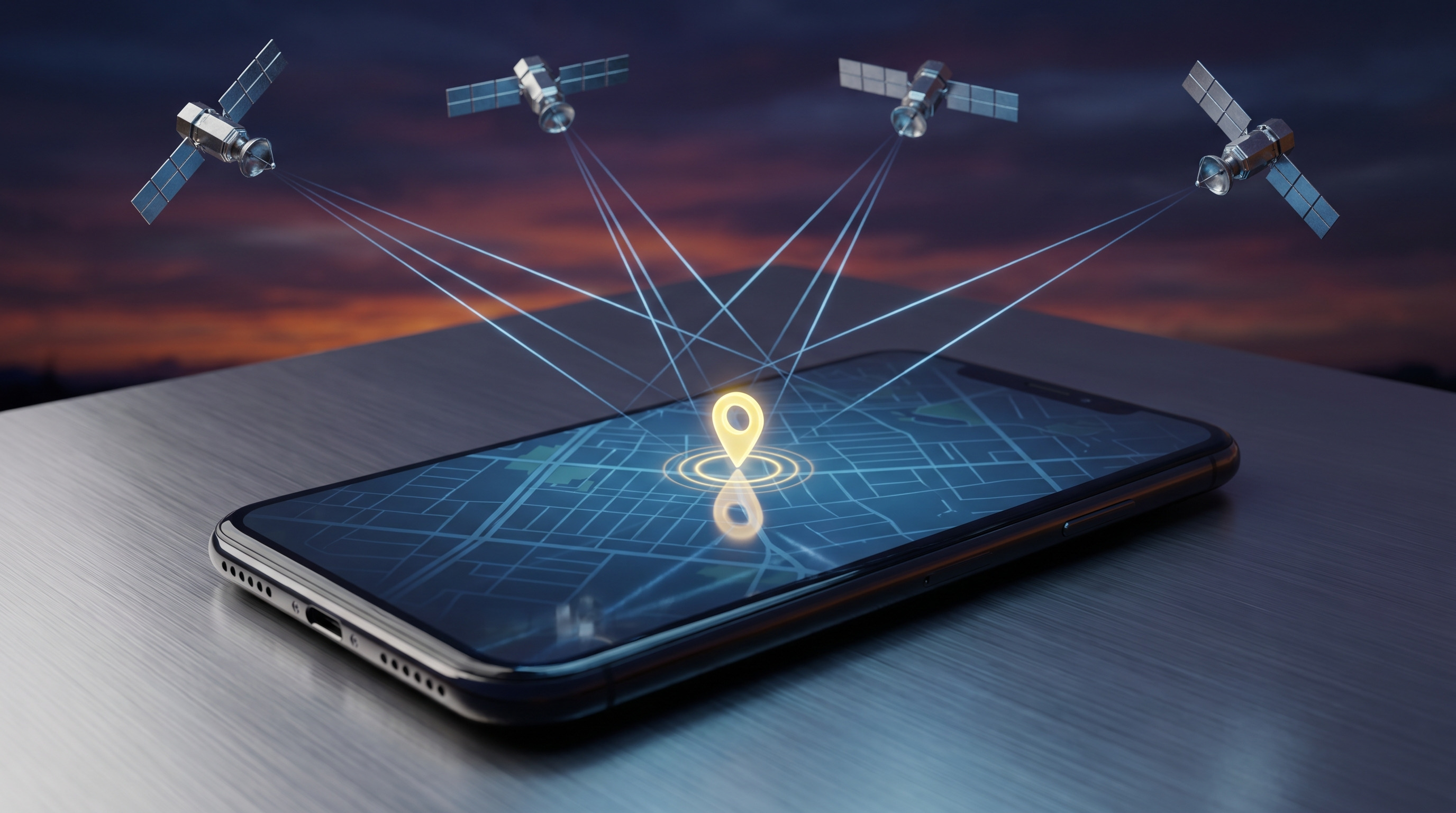
GPS satellites each carry atomic clocks and constantly broadcast the exact time. Your phone receives these signals and measures how long each one took to arrive. Because radio waves travel at the speed of light, that tiny delay converts directly into a distance. With distances from four or more satellites, your device solves for one point in space where all the measurements agree — your location. It never transmits anything back; it only listens.74 words · written for a clear narration pace
The Flash Answer
GPS satellites each carry atomic clocks and constantly broadcast the exact time. Your phone receives these signals and measures how long each one took to arrive. Because radio waves travel at the speed of light, that tiny delay converts directly into a distance. With distances from four or more satellites, your device solves for one point in space where all the measurements agree — your location. It never transmits anything back; it only listens.
The big idea: distance is just time in disguise
Strip GPS down to its core and it is a stopwatch problem. Every satellite in the system broadcasts a signal that says, in effect, “here is exactly what time it is, and here is where I am.” That signal travels to you as a radio wave, and radio waves move at the speed of light — a fixed 299,792,458 metres per second. If you know how fast something travels and how long the trip took, you know how far it went. Distance equals rate multiplied by time.
So your receiver’s real job is to measure a delay. The satellite stamps its signal with a departure time; your device notes the arrival time; the difference is the travel time. Multiply that by the speed of light and you have your distance from that satellite. The catch is that the delays are minuscule. A satellite sits roughly 20,000 kilometres away, so its signal reaches you in about seven-hundredths of a second. Shaving or padding that number by even a millionth of a second moves your calculated position by hundreds of metres, which is why the timing has to be almost unimaginably precise.
Key fact
A GPS fix is fundamentally a measurement of how long radio signals took to arrive, converted into distance using the speed of light.
Why you need four satellites, not three
Knowing your distance from one satellite places you somewhere on a giant sphere around it. A second satellite gives a second sphere, and two spheres overlap in a circle. A third narrows things to just a couple of points, one of which is usually absurd — out in space or deep underground — leaving a single sensible position. This geometric pile-up of distances is called trilateration, literally positioning from three measured ranges. In an ideal world, three satellites would be enough to pin down latitude, longitude, and altitude.
The real world adds a wrinkle. Turning travel time into distance requires the satellite’s clock and your receiver’s clock to agree perfectly. The satellites carry atomic clocks, but your phone carries a cheap quartz oscillator that drifts constantly. Even a tiny clock offset in the receiver throws every distance measurement off by the same amount, smearing the three spheres so they no longer meet at one point.
The elegant fix is to add a fourth satellite. With four measurements and four unknowns — three for position and one for the receiver’s clock error — the math has exactly enough information to solve for all of them at once. The receiver effectively asks: what single clock correction makes all four distance spheres agree on one point? Once it finds that value, it not only knows where you are, it has also synced its own clock to atomic-clock accuracy for free. That is why four is the practical minimum, and why receivers grab more satellites whenever they can.
Measure the delays
The receiver times how long each satellite’s signal took to arrive and converts each delay into a distance.
Overlap the spheres
Three distances define overlapping spheres that intersect at essentially one point in space.
Solve for the clock too
A fourth satellite lets the receiver correct its own inaccurate clock, sharpening the fix from a smear to a point.
The satellites are really flying clocks
Because everything hinges on time, the space segment of GPS is best thought of as a fleet of extraordinarily accurate clocks that happen to orbit the planet. As of mid-2023 there were 31 operational satellites in the constellation, comfortably above the baseline of 24 that the system is designed to guarantee. They are arranged in six orbital planes so that from almost anywhere on Earth, at almost any time, at least four are above the horizon and in view.
Each satellite flies in medium Earth orbit at about 20,200 kilometres up and circles the planet twice a day. Onboard, atomic clocks keep time to staggering precision — good to roughly a billionth of a second. That precision is not a luxury; it is the whole point. Since light travels about 30 centimetres in a nanosecond, a clock error of a single nanosecond translates into a positioning error of about 30 centimetres. The satellites also continuously broadcast data about their own orbits, so your receiver always knows exactly where each one was at the instant it sent its signal.
It is worth separating what is bedrock physics from what is engineering. That timing translates to distance is settled physics. How many satellites fly, at what altitude, broadcasting on which frequencies, is deliberate engineering — choices made to balance coverage, cost, and reliability, and choices that continue to evolve as newer satellites replace older ones.
Your phone is only listening
One of the most common misunderstandings about GPS is the direction the signals flow. It feels intuitive that your phone must be “checking in” with the satellites, pinging them to ask where it is. It does not. The entire system is one-way: satellites broadcast, and receivers listen. Your device is a passive antenna and a very fast calculator, nothing more.
This one-way design has real consequences. Because the satellites never need to know you exist, the system serves an unlimited number of users at once — billions of phones, cars, ships, and tractors can all compute positions from the same broadcasts without ever crowding the satellites. It also means GPS by itself cannot track you or drain the satellites’ attention; the satellites have no idea who is listening. When your phone does report your location somewhere, that happens over the separate cellular or Wi-Fi network, not through GPS. The location fix is calculated locally, on the device in your hand.
✗ The myth
My phone talks to the satellites to get its location
It is easy to picture your phone sending a request up to the GPS satellites and getting a position beamed back down.
✓ The evidence
The signal only flows down
GPS is strictly one-way: satellites transmit, and your receiver only listens and calculates. Your phone never sends anything to the satellites, which is exactly why the system can serve unlimited users at once.
Einstein rides along in every fix
Here is where GPS stops being a neat engineering story and becomes a daily, working demonstration of Einstein’s relativity. Two separate effects nudge the satellites’ clocks relative to clocks on the ground, and they push in opposite directions. Special relativity says that a moving clock ticks slow; because the satellites race along at roughly 14,000 kilometres per hour, their clocks should lose about 7 microseconds per day compared with ours. General relativity says that clocks run faster where gravity is weaker; because the satellites sit far above Earth’s surface in weaker gravity, their clocks should gain about 45 microseconds per day.
Combine the two and the gravitational effect wins. The net result is that each satellite’s clock runs fast by roughly 38 microseconds per day relative to the ground. That sounds trivial until you remember the nanosecond-equals-30-centimetres rule. Left uncorrected, this drift would corrupt a position fix within about two minutes, and errors would pile up at a rate of roughly 10 kilometres every day — enough to make the system useless for navigation within hours.
Engineers handle this by building the correction in from the start. The satellite clocks are effectively set to tick at a slightly different rate before launch, so that once they are in orbit and relativity has its say, they keep time in step with clocks on the ground. Every time your phone finds you, it is quietly relying on a correction that Einstein’s equations predicted decades before GPS existed.
Why the blue dot wanders, and how it gets sharper
If the physics is so precise, why does the blue dot on your map sometimes jump across the street or drift while you stand still? The answer is that the clean geometry meets a messy planet. Under open sky, a GPS-enabled smartphone is typically accurate to within about a 4.9-metre radius. That number degrades near anything that gets between you and the satellites.
The main culprits are predictable. Signals slow slightly as they pass through the charged upper atmosphere, the ionosphere, adding a timing error that varies with conditions and even with solar storms. Tall buildings, bridges, dense trees, tunnels, and indoor walls can block satellites entirely or, worse, bounce their signals so the wave arrives by a longer, reflected path — an effect called multipath that fools the receiver into calculating too great a distance. This is why cities, with their canyons of glass and steel, are the hardest places to get a clean fix.
The fixes fall into a category engineers call augmentation — anything that helps GPS do better than it could alone. Systems such as the Wide Area Augmentation System broadcast correction data that models atmospheric delays and flags errors, and high-quality receivers using such corrections can achieve accuracy of under two metres most of the time. Professional dual-frequency equipment, which listens on more than one GPS frequency to cancel atmospheric distortion, can reach centimetre precision for surveying. Your phone also blends GPS with Wi-Fi, cell towers, and its own motion sensors to smooth the wandering dot. None of this changes the underlying idea: it is still time, turned into distance, cleaned up by clever corrections.
Key takeaways
- GPS turns time into distance: your receiver measures how long each satellite’s signal took to arrive and multiplies by the speed of light.
- You need four satellites, not three — the fourth solves your receiver’s own clock error along with your position.
- Your phone only listens; it never transmits to the satellites, which is why the system serves unlimited users at once.
- Relativity shifts satellite clocks about 38 microseconds per day, and that correction is engineered in or GPS would fail within hours.
- Everyday accuracy is a few metres under open sky, degraded by buildings and the atmosphere and sharpened by augmentation systems.
Frequently asked questions
How many satellites does GPS need to find me?
At least four. Three fix your position in space, and the fourth lets the receiver correct its own inaccurate clock, which is essential for turning signal delays into accurate distances. Receivers use more than four whenever they are available to improve reliability.
Does my phone send a signal up to the GPS satellites?
No. GPS is strictly one-way. The satellites broadcast, and your phone only receives and does the math. Any reporting of your location happens separately over cellular or Wi-Fi networks, not through GPS itself.
Why does relativity matter for GPS?
The satellites’ clocks run fast by about 38 microseconds per day compared with the ground, because of their speed and weaker gravity. Uncorrected, that would throw positions off by roughly 10 kilometres a day, so the correction is built into the system.
Sources & further reading
This explainer was prepared through desk research using the sources below; established facts are distinguished from open questions in the text. See our editorial methodology.
- GPS.gov — Trilateration, National Coordination Office for Space-Based PNT.
- GPS.gov — Space Segment, National Coordination Office for Space-Based PNT.
- GPS.gov — GPS Accuracy, National Coordination Office for Space-Based PNT.
- GPS.gov — Augmentation Systems, National Coordination Office for Space-Based PNT.
- Richard W. Pogge — Real-World Relativity: The GPS Navigation System, The Ohio State University.
- NIST — Putting Einstein to the Test, National Institute of Standards and Technology.
Spotted an error? We correct verified mistakes promptly — email contact@flashscience.org.
Continue exploring
Three questions to read next.
 Science explainedHow Does Bluetooth Work?Read next →
 Science explainedHow Does Sunscreen Work?Read next →
 Science explainedWhat Would Happen If the Sun Suddenly Disappeared?Read next →